From CommunityCrimeMap.com:
PEEPING TOM
1XX S LAUREL ST
Oct 10, 2016 at 11:32 pm
Data provided by Virginia Commonwealth University Police Department

From CommunityCrimeMap.com:
PEEPING TOM
1XX S LAUREL ST
Oct 10, 2016 at 11:32 pm
Data provided by Virginia Commonwealth University Police Department
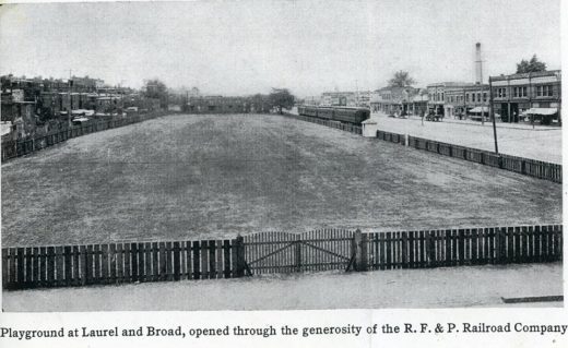
This photo shows the RF&P RR train tracks on Broad Street in the first quarter of the 20th century. This view (maybe 1915?) is westward, with the Elba train station at the rear of the view. This playground was arranged through the R.F. & P. RR by “Mrs. Bolling, of the Richmond Playgrounds Association”. It harkens to a time when Oregon Hill could sort of claim to extend to Broad Street.
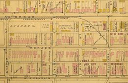
Here is part of the 1889 Baist map, which shows how the train turns from W. Broad to Belvidere then heads down past the penitentiary. The train tracks turned at Pine, thence south on Belvidere, and turned east along Byrd street, entered level, through a tunnel, to continue downtown to the old Byrd street depot.
(Special thanks to Richard Lee Bland and Fred Rodgers for the images and history notes, as seen on the Fans of Monroe Park FaceBook page.)
From Community Crime Map:
SHOOTING AT/WITHIN OCCUPIED DWELLING
5XX S LAUREL ST
Oct 8, 2016 at 7:25 pm
Data provided by Richmond Police Department
Update: Despite that report, unofficial police comment is
No shooting in the 500blk of Laurel. Two people exchanged words and a rock was thrown through the window breaking the glass.
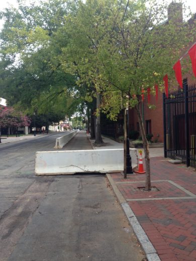
New barriers block a parking lane as deconstruction starts on GRC, in preparation for new one.
From RAIDSonline.com:
AGGRAVATED ASSAULT
2XX S LAUREL ST
Aug 13, 2016 at 1:02 am
Data provided by Richmond Police Department

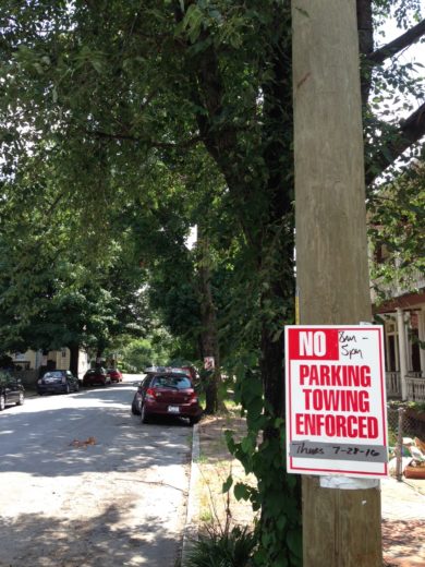
From Craigslist ad:
Saturday 8/13 9am-5pm or later
500 block S. Laurel St, Oregon Hill, Richmond, 23220FREE AND CHEAP
Look for the signs!
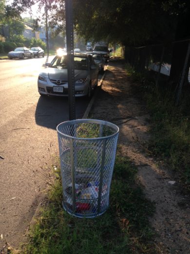
New trashcan spotted at corner of S.Laurel and Cumberland! It looks like it is being used! Hope Department of Public Works remembers to empty it.
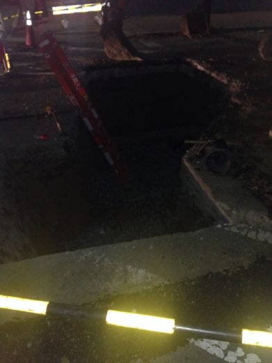
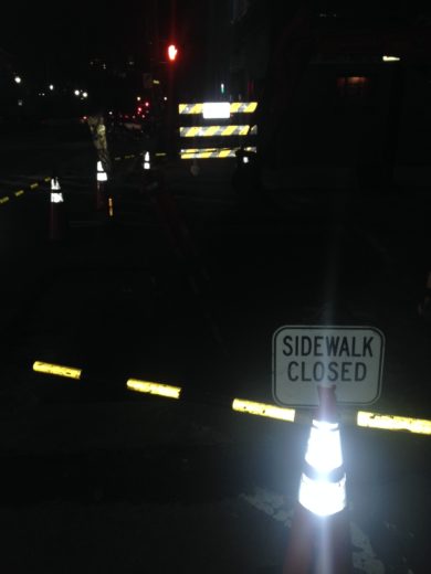
Sewer workers had a late night.