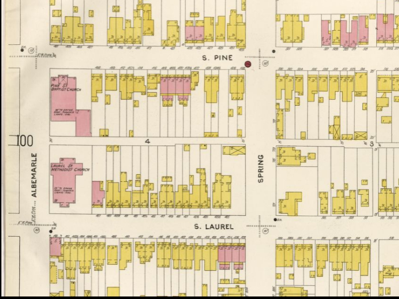
The Sanborn insurance maps are a wonderful resource for researching buildings in Oregon Hill and the City of Richmond. The Sanborn maps were very detailed, showing frame buildings in yellow, brick buildings in red, and stone buildings in blue, with notations of the number of stories and building additions. For example in the detail above we see that the Laurel Street Methodist Church, at the corner of Laurel and Albemarle Streets, was made of brick 28 feet in height to the eaves, had a basement and gas lighting. The Sanborn maps were revised from 1905 through 1925 and the 1905 version is available for free on the Library of Congress web site: http://www.loc.gov/
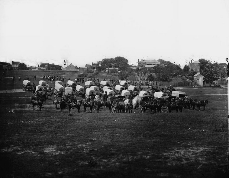
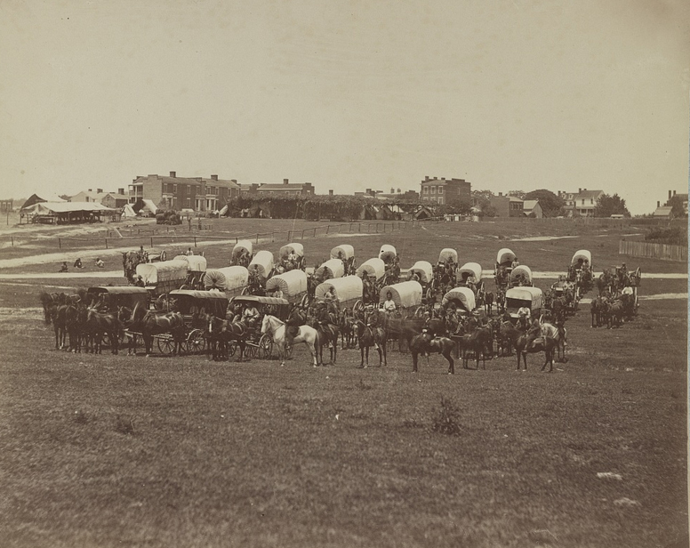
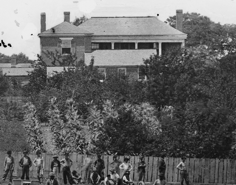
Photo credit: Library of Congress