Neighbor Todd Woodson continues to help with the Idlewood traffic project.
He recently sent this to the committee members:
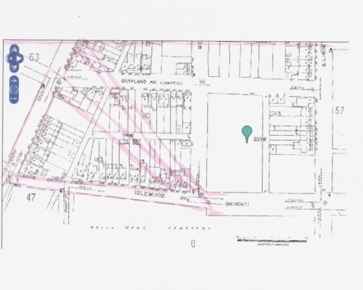
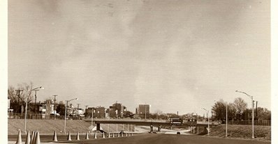
While we are awaiting design updates from our friends at Kimley – Horn, I thought i’d share some of the background of the area we are working to improve. Since a picture is worth a thousand words, i’ll simply start with a grid map from the 1924 Sanborn map (thanks, C Pool!). As you can see, the downtown expressway destroyed the northern portion of grid seen here. Harrison and Idlewood (also known as Beverly street) remain as they were laid out. The pink highlighter is a rough approximation of the exit ramp and Grayland redux surrounded by Harrison and Idlewood as they exist today. The second shot is a 1976 photograph of the downtown expressway right before it opened (looking east from where the toll booths would be today). This amenity truly fractured the Randolph and Oregon Hill neighborhoods and splintered our communities. We lost a total of 700 residences and experienced 150 business relocations from the expressway…
(RRHA owns the pie shaped parcel bordered by Harrison, Idlewood and Grayland.)


