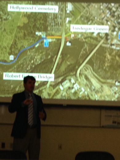
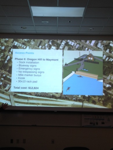
Phil Riggan, who now writes the “Why Richmond, Why?” column for the Richmond Times Dispatch, earlier this week presented his final project for his VCU studies, a plan for making the Kanawha Canal between Oregon Hill and Bosher’s Dam into a recreational ‘blueway” for the James River Park system.
Click here for a copy of his presentation. A full written report/plan should be available in the near future after Riggan makes some final edits.
A couple of points about the plan- It was made with the help of the Friends of James River Park and the James River Outdoor Coalition. Nathan Burrell, the Director of James River Park, afterwards remarked that he thought it was actionable and doable now, as long as there was permission of stakeholders (CSX, Department of Public Utilities (DPU), and others) and available financial resources. It has already received letters of support from the James River Association and the Falls of the James Scenic River Advisory Committee.
Riggan knows about the 1988 canal restoration plan (the one that Venture Richmond ignored) and says he has included it in his final report. It is noteworthy that his plan starts with “Mile 1” at the start of the North Bank Trail near the S. Cherry cul-de-sac, and not “Mile 0” near the Lee Bridge. Riggan’s plan recognizes that DPU needs to complete engineering in order to get the water level right for recreational traffic (elevation verified at 83 feet). Some Oregon Hill neighbors are suspicious that perhaps that was the real goal of the Tredegar Green amphitheater, to damage the historic Kanawha Canal to the point where now the terminus of the “rewatered” canal is at “Mile 1”. That said, Riggan’s plan comes from a recreational paddling sport perspective and if it is successful, it may increase pressure for FULLY renovating, re-watering, and re-connecting Richmond’s historic canals.


James River Hikers are looking for more volunteers for their weekend canal projects:
Group will be working at Washington’s Arch Friday and Sunday mornings as shown here:
http://www.meetup.com/James-River-Hikers/events/221012460/
http://www.meetup.com/James-River-Hikers/events/221216179/
do you mean DPW? Why would DPU have any issues? Im inclined to think that the city, as we now know it, is of such a degree of incompetency that they could never get this right…
No. I meant what what was written. DPU manages much of the canal because it is used to tap into the river for the City’s water utility supply.
As far as the City goes, remember that the North Bank Trail was essentially created by citizen volunteers before it was even officially recognized by the City.
VCNS ought to favor this plan.
Be sure to list the Blue Way on the James in Botetourt Cnty.
Great plan! I’m eager to see it go forward!
Have there been any updates to this in recent years? It is an excellent proposal and should not be abandoned.