I posted on this before, but new, conflicting information is still coming in.
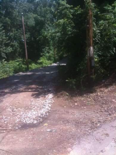
Neighbors now say that they have heard this new ‘utility road’ from Riverside Park to where S. Cherry Street ends will be permanent.
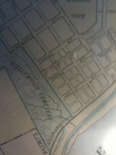
In fact, Cherry Street used to be fully connected, as it looks on this old map:
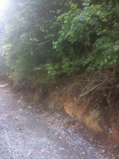
Rumor is that neighbors as well as the City’s Parks and Rec Department are concerned by the lack of communication and what this road building is doing to create erosion behind Holly Street Playground.
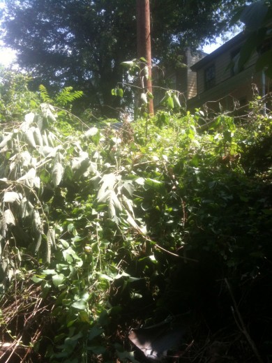
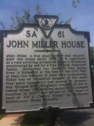
Residents at the end of S. Cherry Street are also concerned about what this could mean for their enclave in the City, including the historic John Miller house which can be seen now from a new vantage point.

